Earth and climate
Space Observations: Integrating Networks for Operational Decisions
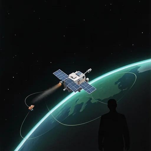
Space observations connect satellite imagery, small satellite networks, and robotic surface routines to transform data into operational decisions.
In brief
Satellite imagery, SmallSats, and rover procedures integrate to transform data into rapid action; the priority is to increase frequency and standardize procedures.
Key points
- Hurricane Lala brought up to 43.55 inches, or 110.6 centimeters, to one site.
- Curiosity drove 100 feet, or 30 meters, and planned another 150 feet, or 47 meters.
- SmallSat 2026 was held from August 24 to 26 and promoted an increase in orbital passes.
- Standardizing payloads and procedures accelerates the translation of data into interventions.
- More orbital passes reduce the risk of unobserved events.
Space observations connect satellite imagery, small satellite networks, and robotic surface routines to transform data into operational decisions. Three cases show it: Hurricane Lala in Hawaii, the SmallSat 2026 conference, and the Curiosity rover’s operations during Sols 4982-4987. In each, frequency, instruments and procedures determine the utility of information, in both terrestrial and Martian scenarios.
When Space Observations and Imagery Guide Disaster Response
Satellite imagery tracked Hurricane Lala as it passed south of the island of Hawaiʻi: the storm reached the coast on August 15 as a Category 1 hurricane. Lala brought local accumulations exceeding 20 inches, or 50 centimeters. A rain gauge measured 43.55 inches, or 110.6 centimeters, in Laupāhoehoe, on the northwest coast of Hilo, while the summit of Mauna Kea above 4,000 meters recorded blizzard conditions. Precipitation maps identified saturated soil and landslide-prone areas, information used to prioritize interventions on damaged bridges and roads.
The next day, Lala had lost intensity. On August 16, it became a tropical storm with sustained winds of 65 miles per hour, or 105 kilometers per hour, while the storm was southwest of Kauaʻi. Over 220,000 customers lost power, and large waves damaged coastlines. Imagery from space guided the allocation of rescue teams. The integration of rain gauge measurements and satellite maps changed the logistics of emergency operations.
How to Increase Measurement Frequency with SmallSat 2026
The SmallSat 2026 conference, held from August 24 to 26, focused on the need for increased orbital frequency and technological transition towards operational applications. Among the presentations, the SPARCS camera emerged, alongside discussions on how to move from rideshare launches to dedicated launches to achieve more passes over critical areas. Small platforms allow for more frequent passes over sensitive zones.
Programmatic panels discussed payload management, practices for evaluating orbital conjunctions, and technology transfer from labs to vendors. Reboost solutions and rideshare options were presented, and sessions illustrated how to bring “the lab to orbit” for rapid testing. Increasing SmallSat capacity improves the resilience of monitoring networks. More orbital passes translate into updated imagery and more timely decisions.
Curiosity Routines that Shape Data Collection Procedures
The Curiosity rover’s operations during Sols 4982-4987 show a complementary example of how modular and repeated procedures improve information quality. The rover used the MAHLI camera for close-up mosaics on the target called “Tres Morros” and the APXS spectrometer measured sample chemistry both after brushing and in the “as is” state. Repeating observations documents environmental changes. Mastcam performed optical depth measurements, the “tau,” to assess the amount of dust in the atmosphere.
Curiosity drove 100 feet, or 30 meters, to reach new targets and planned a further traverse of 150 feet, or 47 meters, towards Mount Sharp. ChemCam performed laser spectroscopy on multiple targets, and Navcam monitored dust devils and suprahorizon films. Regular control procedures reduce operational risks.
What SmallSat Practices Learn from Rover Operations and Storms
The three experiences converge on two practical constraints: observation frequency and procedural robustness. Hurricane Lala showed that sporadic data, even if detailed, can leave critical gaps in monitoring extreme precipitation. The SmallSat conference proposed filling those gaps with small satellites that increase passes. More passes reduce the risk of unrecorded events.
Curiosity’s routines offer a process model. They involve cyclical planning and safety tests before contact operations. They also involve repeated environmental measurements to detect changes. Applying similar procedures to SmallSat networks means standardizing payloads, verifying operational sequences, and automating decisions for repeated acquisitions. Standardizing instruments and procedures accelerates operational responses.
Next Steps and Uncertainties in the Information Chain
The challenge remains open to fund and coordinate integrated networks that combine SmallSats, traditional space observations, and on-site measurements like rovers. Practical questions include how to distribute orbital passes over critical areas, how to standardize payloads for emergencies, and how to translate atmospheric measurements into useful alerts for communities. The priority remains transforming data into rapid action.
Upcoming operational decisions will require targeted investments, clear rules for orbital conjunctions, and shared procedures between terrestrial and space observers. Better integration promises to reduce the time between observation and intervention but requires practical trials and regulatory updates. The subsequent trajectory will depend on policy choices and how quickly satellite and robotic networks adopt common procedures.
The integration of satellite networks and robotic procedures increases resilience. Standardizing instruments and operational iterations accelerates data-driven decisions.
Sources: